
There isn’t much left of the Great Cayuga Marsh.
Today a few artificial pools are carefully managed to provide habitats for millions of migrating waterfowl. The surrounding area has been drained to create farmland and to accommodate New York state’s east-west transportation corridor. Railways, expressways, and tamed rivers now course through a landscape that, for millennia, had been regularly inundated by the outflow of Cayuga Lake.
So, as with the Mohawk River Valley at the Noses, we’ll need to do a bit of digital landscaping to restore the historical appearance of this area.
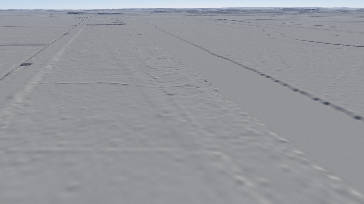
The tentative camera position is just east of May’s Point, near the center of the former marsh. Unlike previous scenes I’d like to show as much of the surrounding landscape as possible, so the camera is placed 200 meters above ground level to give us a bird’s-eye view.
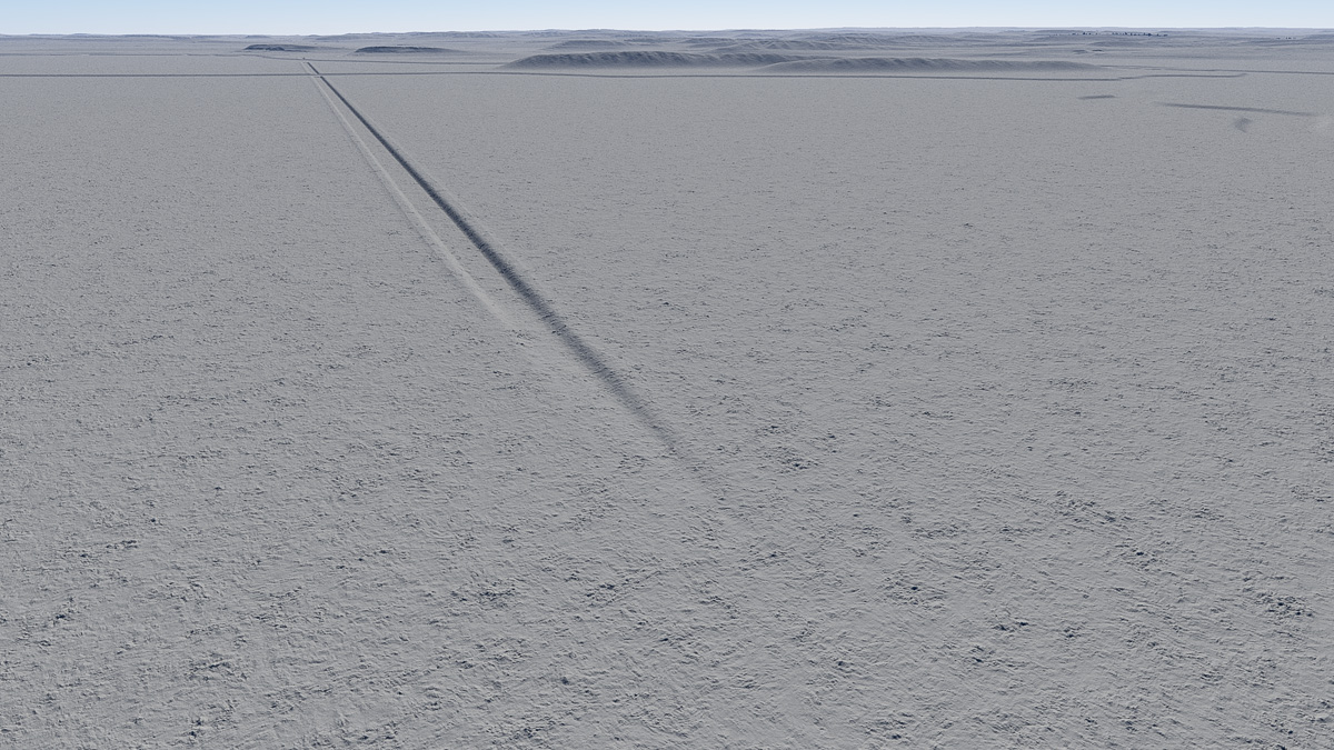
Almost all of these features will be removed. The Clyde River is moved south (to the right) to match its location in contemporary maps. In the distance, low hills leveled by later development are restored. The partly excavated bed of the canal now extends northeast toward the Seneca River and the hamlet of Montezuma.
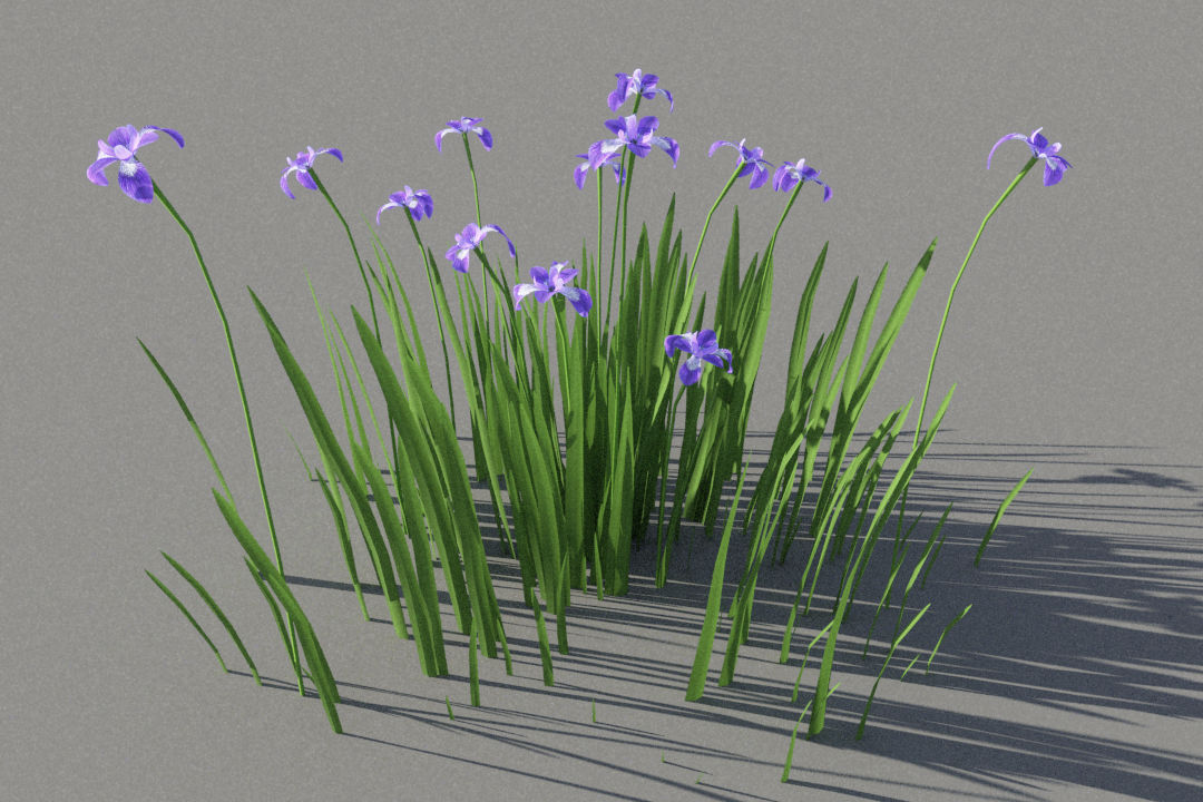
New models are made to represent native vegetation including grasses, goldenrod, cattails, and blue flag.

Water surfaces and foliage are added to restore the landscape’s original appearance. The tentative date for the scene is spring, 1822. Water levels, already eight to 10 feet higher than today, would have been even higher this time of year, flooding pretty much everything including the partially completed canal.
It’s hard to imagine excavating anything under these conditions.