
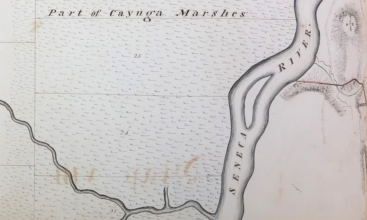
By 1816, surveying parties had charted a course for the canal across most of New York. Approaching from east and west, they met at the Seneca River near Montezuma. (Plottings of surveys for the Erie Canal in 1816 and 1817. 1816. Buffalo History Museum.)