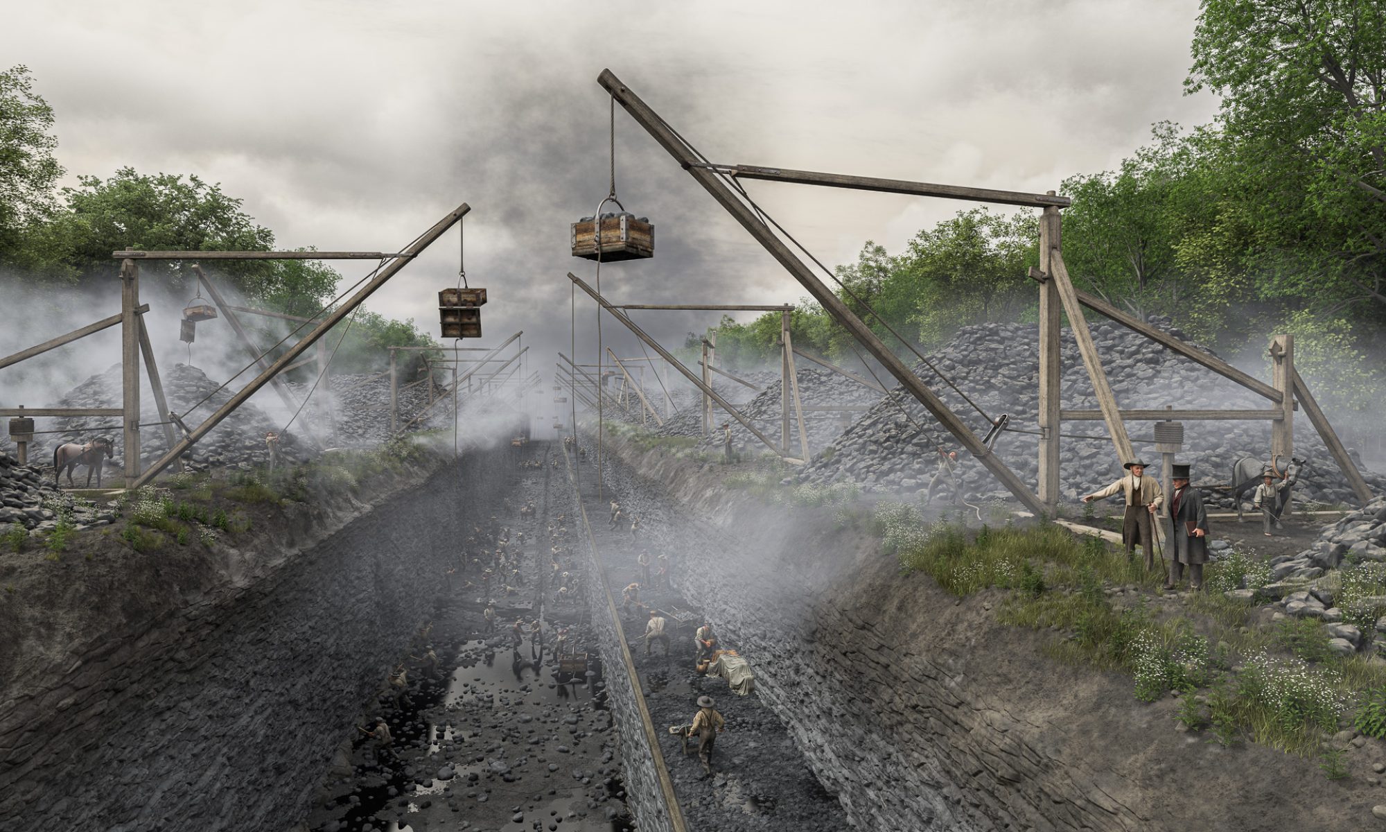
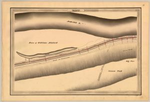
The Holmes Hutchinson 1833 survey map precisely locates the path of the original Erie Canal and channel of the Mohawk River. This is the area that will be depicted in the foreground of our scene. As with other 19th-century maps, the cliff to the south of the canal is designated Big Nose. On modern maps, Big Nose is on the north side of the Mohawk, and this cliff is designated Little Nose. (New York State Archives)


