Work on the bridge scene has taken a few unexpected twists and turns. But few have been as intriguing as this.
It turned up very early. While searching for information about the area around the bridge, I turned to contemporary plat maps digitized by the local library. The maps, which show property lines, buildings, bridges, roads and railroads, were published in 1902 and 1924. The first one is too early – the lift bridge was completed in 1913. Here is a section of the 1924 map.
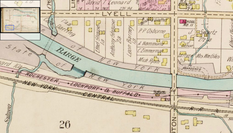
Everything in this map was familiar except for the line labeled “Rochester, Lockport & Buffalo.” I knew about the New York Central rail line, also labeled. But what was this?
A bit of digging quickly turned up more information. The RL&B was an electric interurban railway that connected Rochester with points west. Built in 1908, it was part of a web of interurbans that spread across western New York and the rest of the country.
At that time it wasn’t at all apparent that the automobile would be the transportation mode of the future. Roads were narrow and rutted, automobiles expensive and undependable. Railroads were the way to go. A mania spread as investors sank their fortunes into the burgeoning interurban industry.
But instead of buying stock in interurbans, ordinary people used their savings to buy Henry Ford’s new Model T. Roads were gradually improved and the automobile industry expanded. Interurban ridership declined and finally the bubble burst. Nearly all of the rail lines were defunct by the early 1930s.
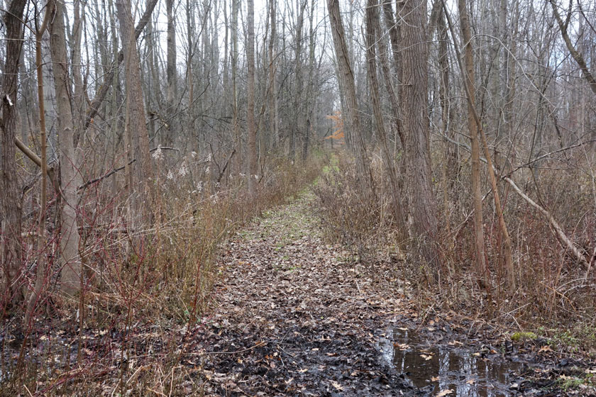
The Buffalo, Lockport and Rochester Railroad had been sturdily built because it was expected to last for decades. Instead it was abandoned and literally ripped up: Cars, tracks, bridges, electric generating stations, and most passenger stations were simply scrapped.
The interurbans used traction cars, either singly or coupled in pairs, to carry passengers and some freight over standard gauge rails at speeds up to 80 miles per hour. These were not “trolleys.” They were light, high-speed electric railroads. Today, the fate of these innovative transportation systems seems to represent a missed opportunity.
Little survives. Traces of the overgrown right of way are barely visible from the air or on Google Earth. Some passenger stations have been preserved, and a derelict steel bridge crosses the canal in Rochester.

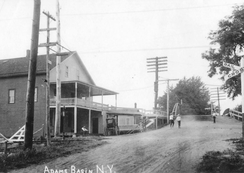
Sometimes it’s impossible to pinpoint track and station locations. That’s the case with Adams Basin – the right of way vanishes in the immediate vicinity of the bridge. I feel like I’m chasing ghosts.
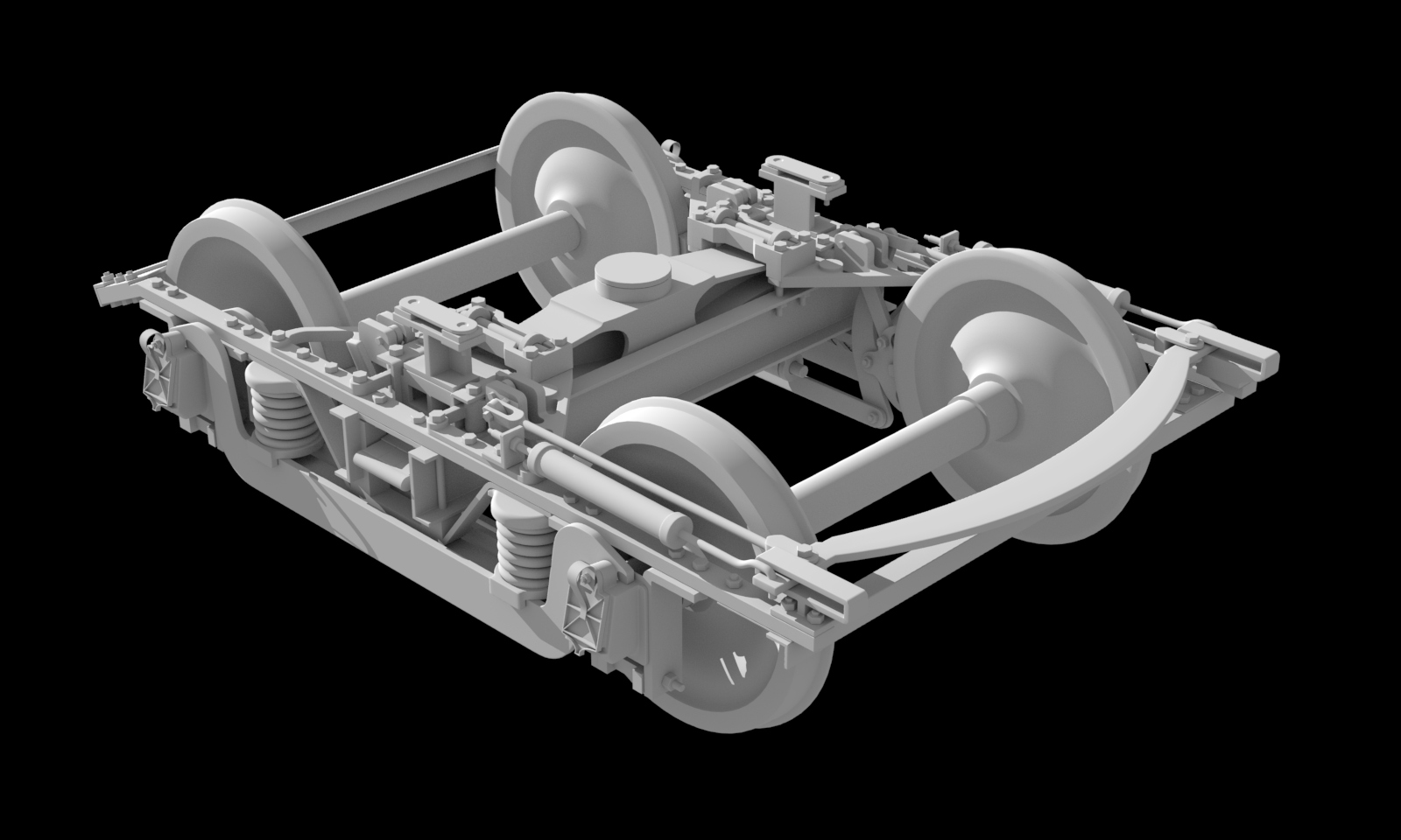
But it’s clear that the railroad must be in the scene. So, while the sleuthing continues, I’ve started modeling the traction car itself, starting with the “truck” or wheel assembly.
