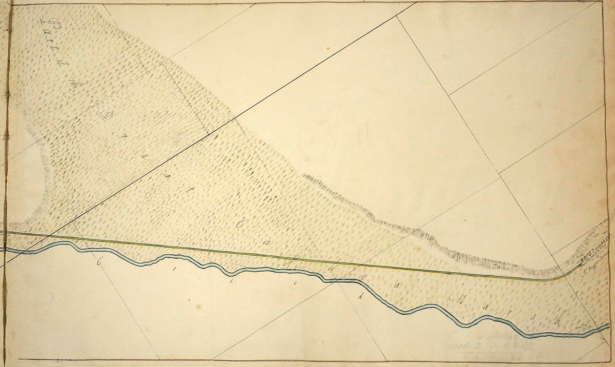
James Geddes’ 1817 survey map shows the proposed Erie Canal crossing “Part of the Great Cayuga Marsh” north of Mud Creek (later named the Clyde River). The area depicted, which includes the future location of May’s Point (lower right), appears to be uninhabited. This was the final map in Gedde’s survey of the western section of the canal. Another surveyor, Benjamin Wright, was responsible for the middle section. Geddes’ note at lower right says “N 80° E 2 miles and 6 chs over the marsh and river to Mr. Wright’s Survey.” Largely self-taught, Geddes and Wright later would become two of the engineers responsible for the construction of the canal.