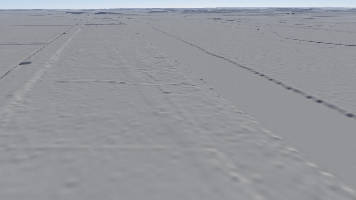
Traces of the original Erie Canal are barely visible in this oblique rendering of the digital elevation map. The camera has been placed 200 meters above May’s Point and faces due east. The elevated bed of the Enlarged Erie Canal is visible at left and the straightened channel of the Clyde River is to the right.