The historical outlines of the Genesee River in Rochester might still be a mystery if it hadn’t been for the flood of 1865.
Seeking an explanation for the sudden inundation, the New York state legislature in 1866 appointed a panel of prominent Rochester citizens to investigate. The four men — Addison Gardner, former New York Court of Appeals judge and lieutenant governor; Amon Bronson, lumber dealer and supervisor of the city’s Third Ward; Levi A. Ward, a founder of the Rochester Gas Company and former mayor; and grain merchant George J. Whitney — took their task seriously and, assisted by Isaac F. Quinby, professor of mathematics at the recently established University of Rochester, undertook a detailed study of the brief but tempestuous relationship between the river and the rapidly expanding settlement on its banks.1
Among other things, they commissioned the first accurate surveys of the river, which documented the locations of the second aqueduct, bridges, and adjacent buildings, and the elevations of the riverbed from the Johnson mill dam to the brink of the High Falls.
But when it came time to establish the historic location of the river’s shoreline — something that should have been well within living memory — the commissioners were left scratching their heads. They wrote:
“In devising measures to prevent future inundations, it would be of much assistance to ascertain the boundaries of the river, which had been established by natural causes before the city was founded; but the land marks by which to fix these boundaries have been so completely obliterated in the gradual growth of the city that the oldest residents do not agree in regard to them, and it is impossible to make an accurate representation of the river as it was fifty years ago within the present limits of the city.”2
In spite of this, and presumably with Professor Quinby’s able assistance, they forged ahead and gave it the old college try. Their final report included a fold-out map showing the low-water boundaries of the river “as they probably were between 1820 and 1830.”
It was, they wrote, “perhaps as close an approximation as can be hoped for.”3

Reconstructing the river
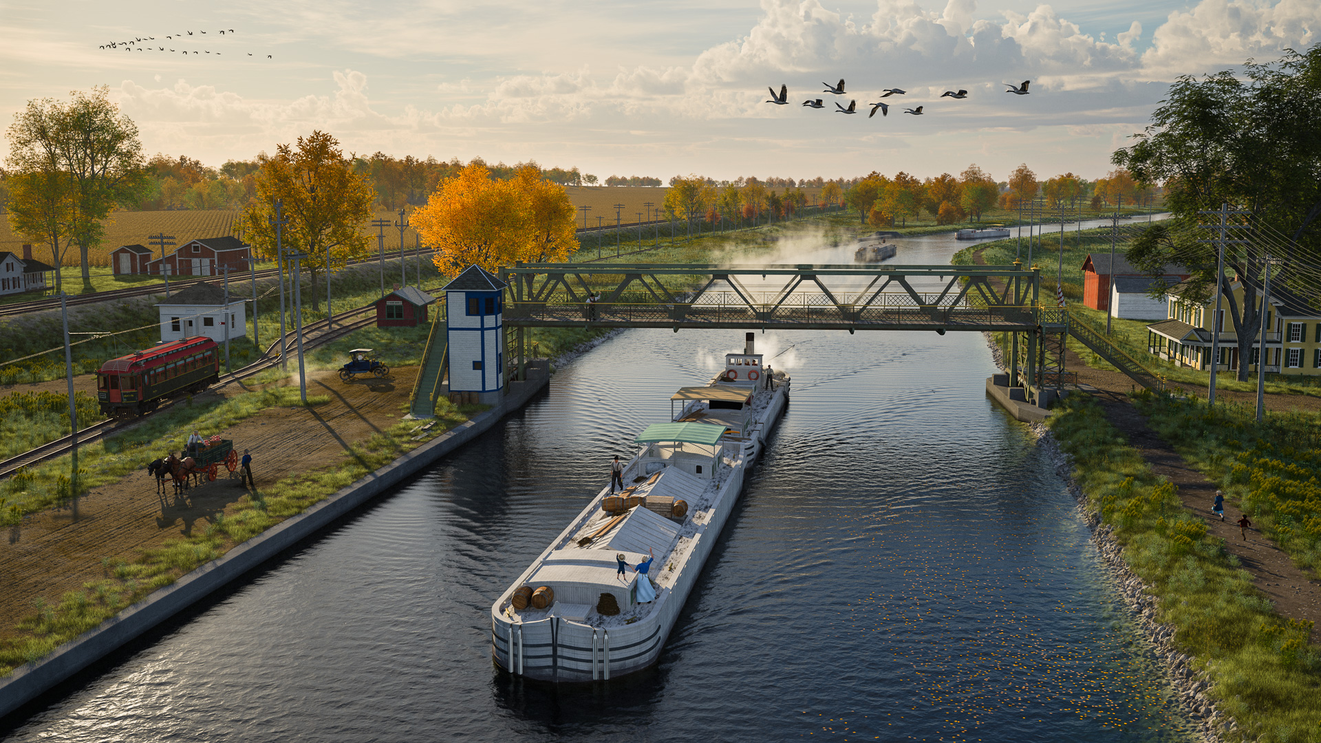
The landscape I’m working on will show the original Rochester aqueduct under construction in the fall of 1822.
The Genesee River shaped the development of the village of Rochester, along with its mills, its bridges and, of course, the aqueduct. So, the first order of business was to build a three-dimensional map of the riverbed and terrain at the Upper Falls.
This is where the flood commissioners’ 1866 report enters the picture. Despite their misgivings, the commissioners did produce a fine map of the river’s historic low-water boundaries. It may have been a guess, but it was an educated one.
The other survey and elevation maps included in their report also contain a wealth of information. By comparing their measurements of the Genesee’s riverbed to the height of the first aqueduct, it becomes possible to estimate the historic elevations of the Genesee River, the millraces, and the rocky shelves on its east and west banks.
And this, in turn, can be used to sculpt a reasonably accurate three-dimensional terrain map.
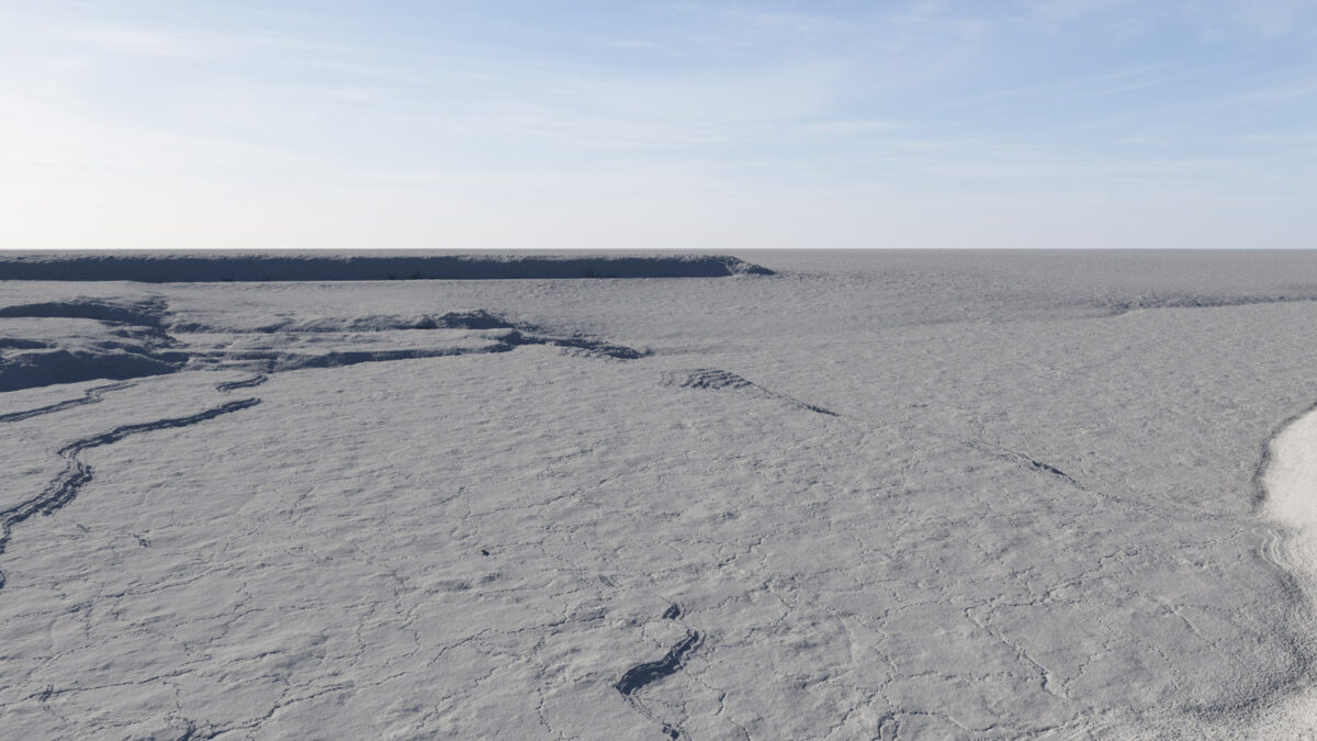
The sculpted surface doesn’t look like much. Aside from the rocky ledge in the background and a few small shelves or “rifts” in the riverbed, there isn’t much variation here. But these slight elevation changes played an outsize role in the early development of Rochester, so it was important to get them right.

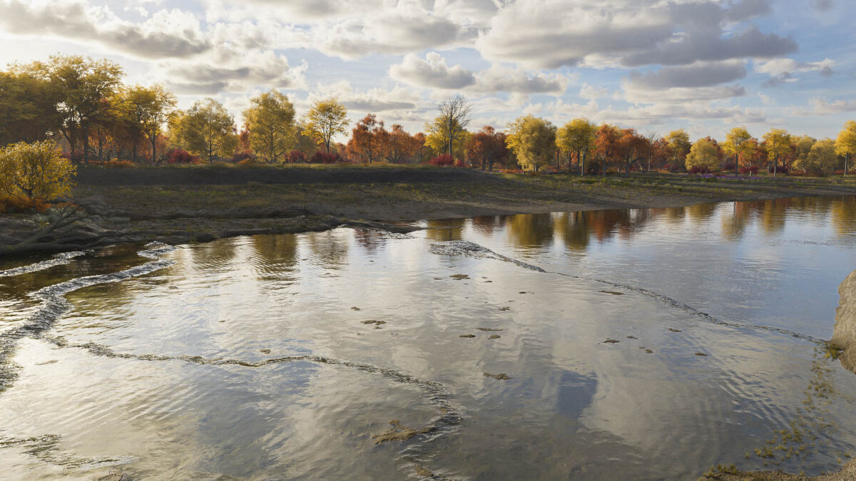
Once the base terrain was done, it was just a matter of adding surface textures, water, and foliage.
At that time the landscape would have been covered by old-growth forest. In a letter to his father in Connecticut, Hamlet Scrantom, who operated one of the first sawmills near the village, wrote that “the country is . . . timbered with all kinds of ash, whitewood [softwoods such as pine], chestnut, hickory, black walnut, &c., and many trees of an enormous size.”4
By 1822 much of this timber would be felled to make way (and to provide building material) for the new village.
The scene’s point of view looks west from the east bank of the river. It is similar to the reconstructed view shown in the previous post; here, the season has been set to late October, the intended date of the final scene.
The rocky ledge on the opposite bank is an important feature that is mentioned in early accounts. A matching ledge rises on the east side. That one is not shown: The virtual camera used to make this rendering is positioned right above it.
When planners laid out the final course of the Erie Canal through Rochester, they decided to cross the Genesee here, at the level of the two ledges. This allowed them to maintain the same elevation from the east bank of the Genesee all the way to Lockport, some sixty miles away — the so-called “long level.” As a result, the aqueduct that would carry the canal over the river would have to extend from the rocky ledge on the east side to the one on the west — more than 800 feet — making it the largest masonry structure on the canal.
- A fifth member of the commission, Western Union co-founder George H. Mumford, was traveling in Europe and apparently did not contribute to the investigation. ↩︎
- Documents of the Assembly of the State of New York, 96th session (Albany: G. Wendell, 1866), issue no. 117, “Report of the Commissioners Appointed to Investigate the causes of the Inundation of the City of Rochester in March, 1865,” page 18; image copy, HathiTrust (https://hdl.handle.net/2027/coo.31924093488496 : accessed 26 December 2024) > image 1132. ↩︎
- Ibid. ↩︎
- “Scrantom Letters on the Beginnings of Rochester,” The Rochester Historical Society Publication Fund Series, Vol. 7 (Rochester, New York: Rochester Historical Society, 1928), 174. ↩︎


Amazing stuff you do!